Real Partnerships: creating clarity for better project outcomes
Accurate site intelligence supporting informed decisions from planning through to construction.
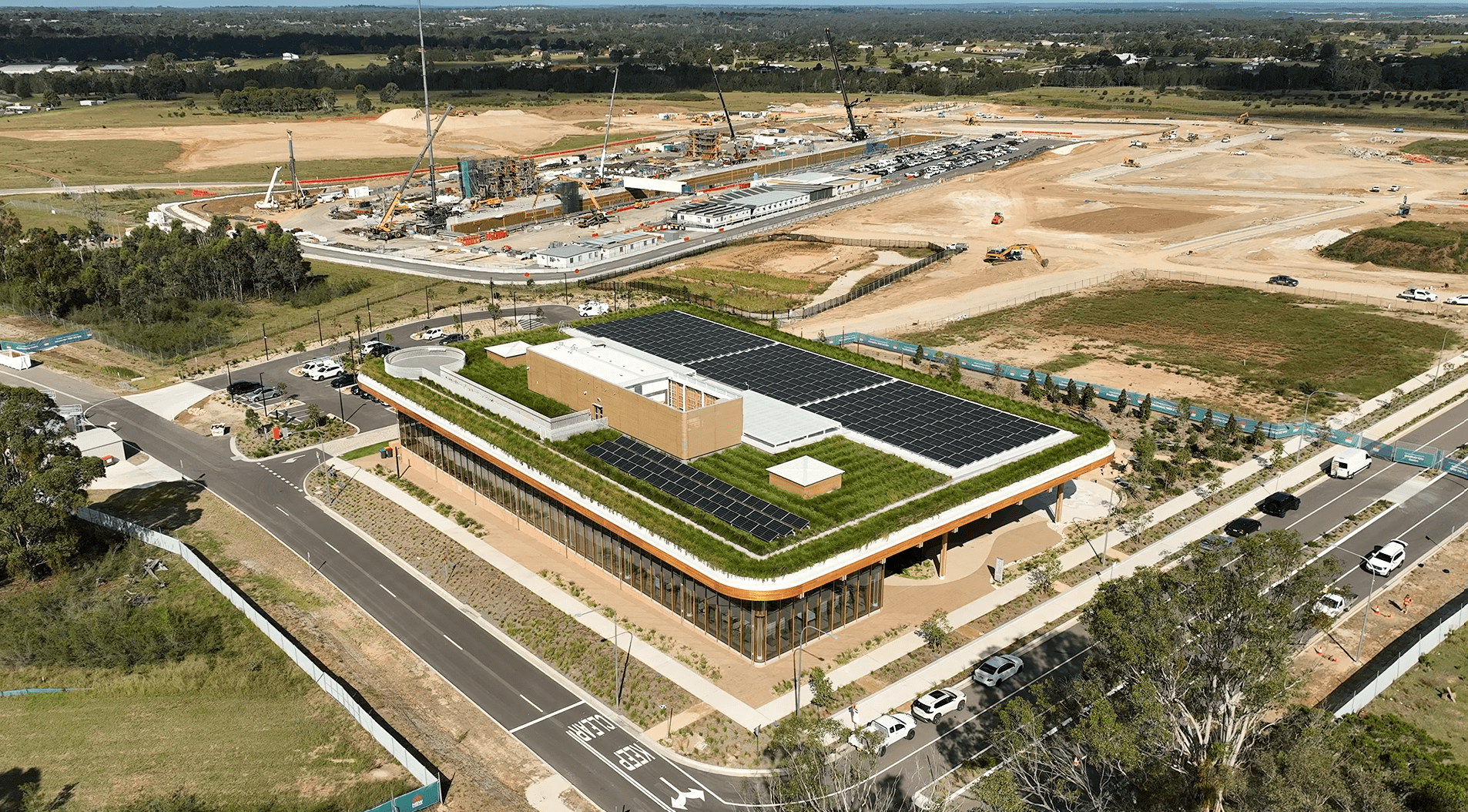
Good project outcomes start with a clear understanding of what’s really on site. Our geospatial team helps create that clarity, giving project teams accurate, reliable information that improves coordination, supports informed decisions, and helps projects move more smoothly from planning through to delivery.
We work across every phase of the project lifecycle, from feasibility and approvals through to detailed design, construction, handover, and ongoing asset advisory.
By connecting project information into a shared digital understanding of a site or asset, we help teams collaborate more effectively and respond to challenges earlier.
Our approach is grounded in practical project delivery. We understand that geospatial information creates the most value when it is accessible, coordinated, and useful to the wider project team, supporting better outcomes not just at one stage of a project, but across its full lifecycle.
Real Geospatial Impacts
Our Geospatial team provides a broad array of integrated geospatial engineering services. These include:
By incorporating high-resolution drone and mobile mapping data into our workflows, we have improved geospatial accuracy, reduced site risks, and refined decision-making across initial feasibility assessments, construction, and asset management.
3D laser and Lidar Surveys provide project teams and our clients with precise 3D data on locations, structures, roads, and assets, collected efficiently and safely in complex environments. Using this data improves design confidence, reduces assumptions and rework, and speeds up coordinated outcomes.
Northrop uses high-density point clouds and photogrammetry models to accurately depict terrain, structures, and infrastructure in 3D, creating a shared digital environment.
These models support design, coordination, verification, and visualisations, enabling civil, structural, and building teams to collaborate, identify risks early, and make informed decisions.

Northrop's Geospatial Team is the digital front door for every project we deliver. Capturing reality once and making that data reusable across Civil, Structural, Integrated Buildings, Environmental and Project Management teams eliminates duplication, reduces risk and provides clients with a single source of truth.Garry ElaliGeospatial Services Manager
Specialist Areas of Expertise
Our geospatial team works across the full project lifecycle, supporting early planning, design coordination, construction delivery, and asset handover through accurate, connected project information. Whether supporting a standalone engagement or working alongside Northrop’s multidisciplinary engineering teams, we help clients better understand existing conditions, improve coordination between disciplines, and create more informed project outcomes. Our geospatial specialists support a range of engineering and advisory disciplines through accurate site intelligence, digital modelling, and coordinated project information:
Civil & Infrastructure
Accurate site, terrain, and utility information supporting constructability, coordination, and project delivery.
Structural Engineering
Existing condition capture and spatial verification supporting coordinated design, retrofit, and construction accuracy.
Integrated Buildings & Building Services
Digital capture and BIM-integrated modelling improving coordination across complex building environments.
Environmental & Sustainability
Spatial analysis and mapping supporting environmental planning, compliance, and rehabilitation outcomes.
Project Management & Advisory
Geospatial planning, coordination, and data management supporting informed project delivery and asset outcomes.
Contact your local Northrop Geospatial Services Client Partner today
Experience the difference Northrop’s Client Partner approach makes and the Real Impact it will have on your next project.
-
 Experience the difference Northrop’s Client Partner approach makes and the Real Impact it will have on your next project.Geospatial Services ManagerExperience the difference Northrop’s Client Partner approach makes and the Real Impact it will have on your next project.